
Client: Tigray Region Trade Industry and Urban development Bureau
Project: Humera Town structure Plan
The project town/Setit-Humera and its environ has designated as a regional growth corridor and center of industrial growth pole. Accordingly, its prominence as main economic center and transport hub of the study region, export and import gateway between Eritrea & Sudan, and other roles continue during the planning period. Therefore, urban-urban linkages between all urban centers in the study region is vital for the provision of adequate higher order goods and services for the small towns and majority of rural people of the study region. According to their geographical distribution, among 17 urban centers which have urban status, 10 (58.82%) are found in Q’afta Humera Wereda and other 7 (41.17%) urban centers are found in Tsegede and Wolqait Weredas. Most of these urban centers have developed along the major road corridors
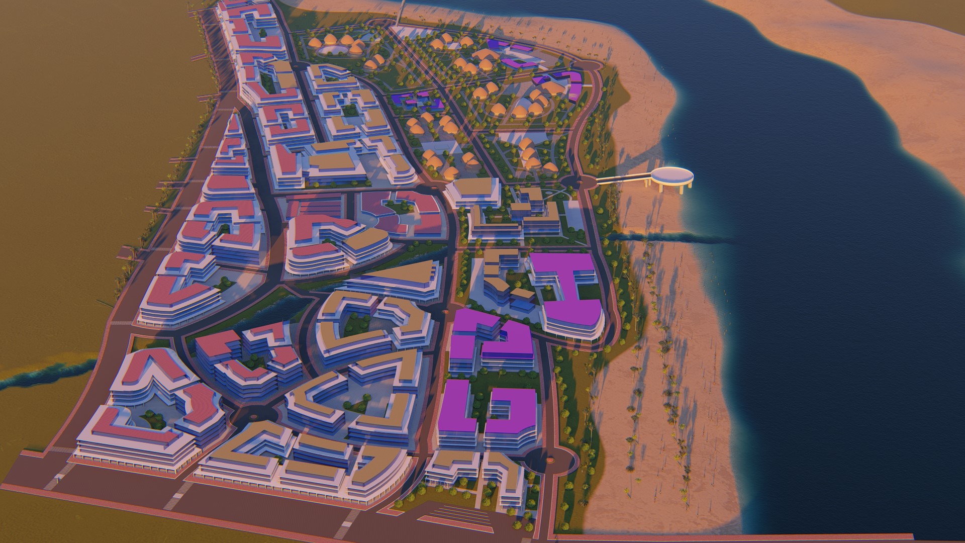
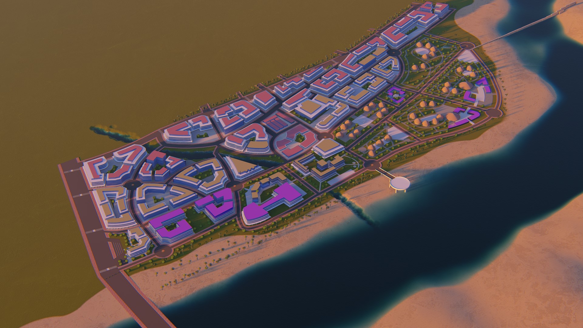
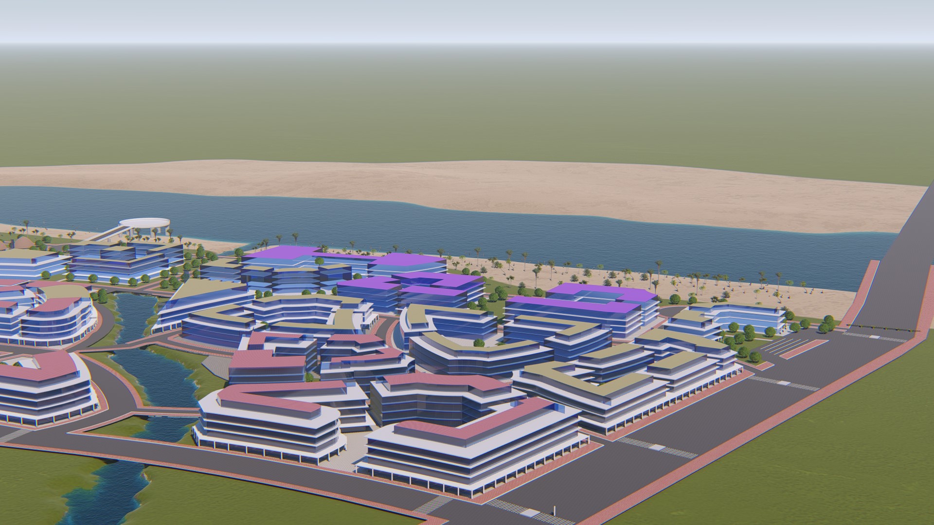
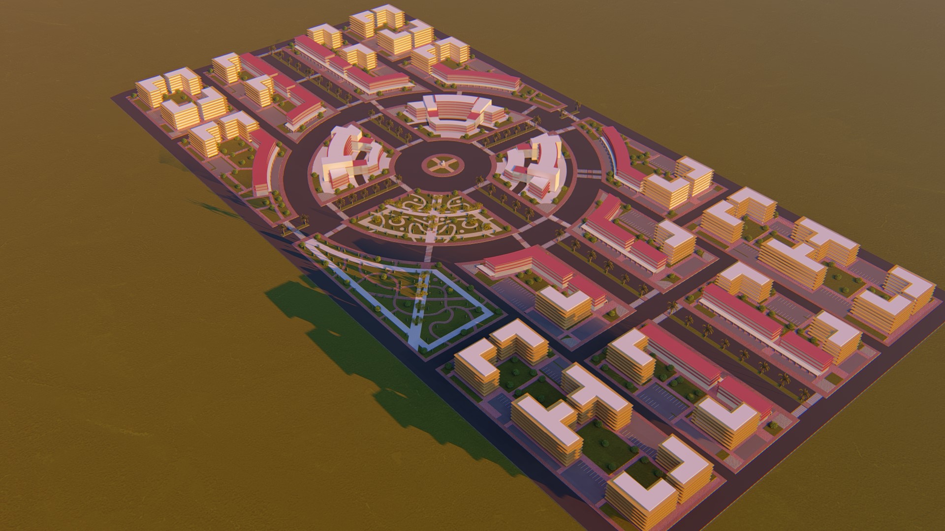
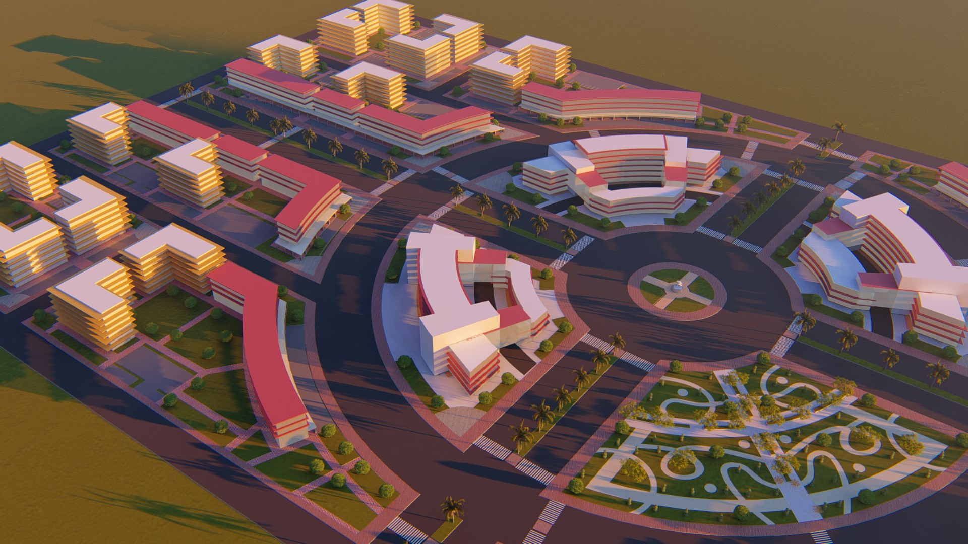
The structure plan prepared by our company will serve as a tool for the urban growth of the town for the 2017-2027 planning period. It is a legally binding urban planning document representing the main features of land use and transport routes of Humera Town. It designates those areas and locations for major urban functions and reserved areas, which satisfy the anticipated needs of the population living within the jurisdictions of the town.
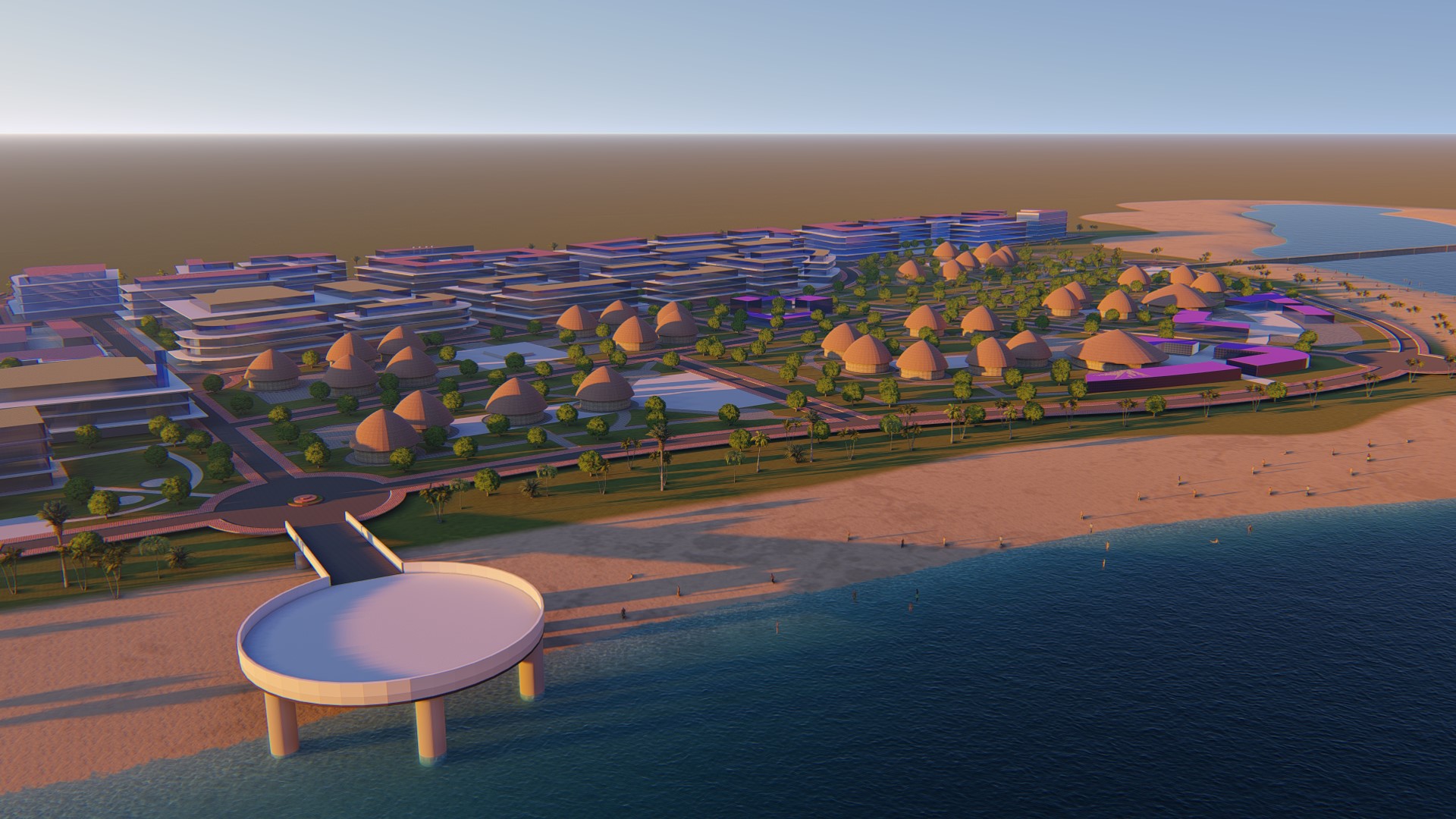
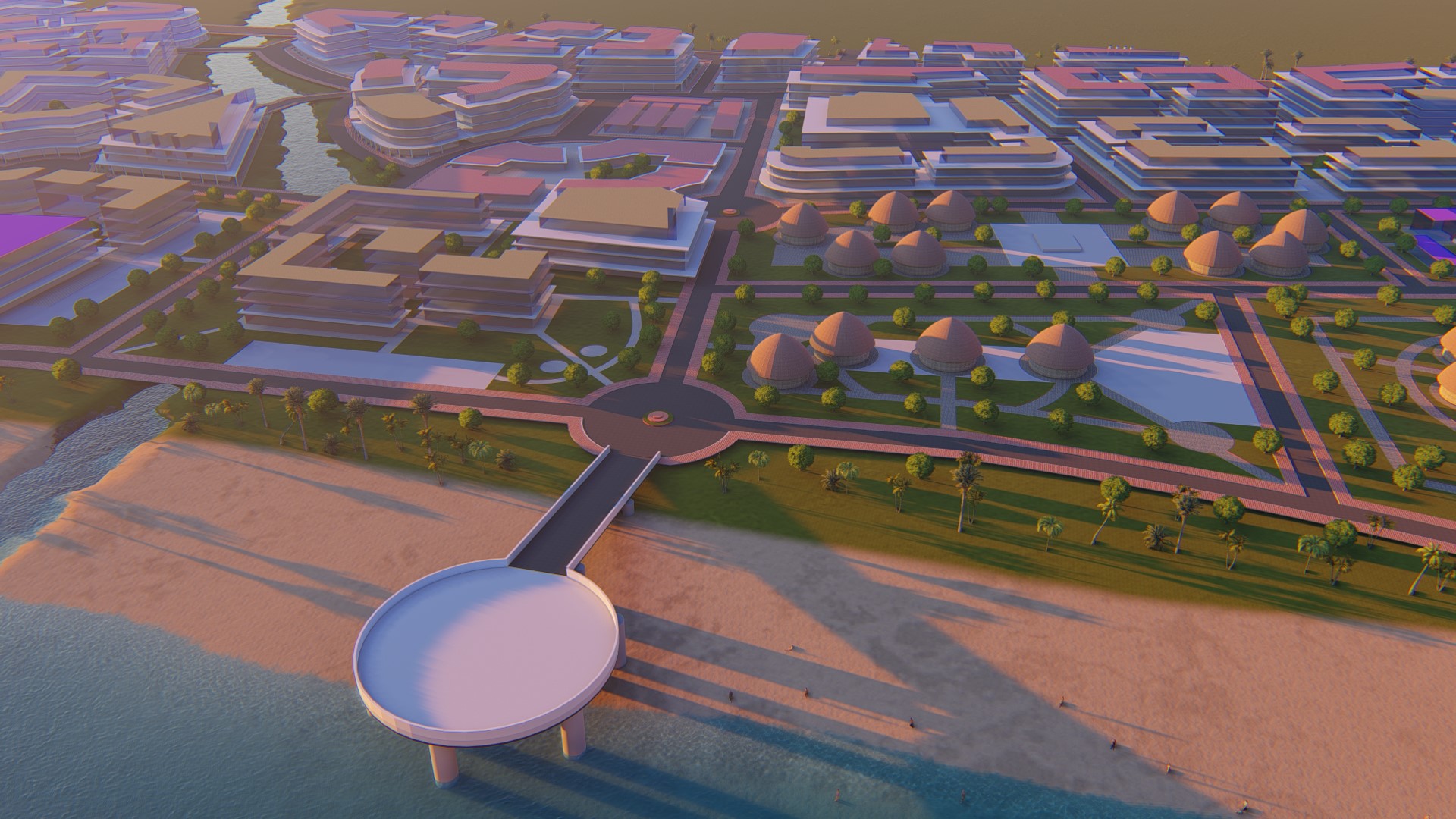
The structure plan has envisioned the town will become the Agro-industry center of the region and has proposed different land uses that enhance this role.
Study area: 3,800 hectares
Population: – 2017 – 36,000 and forecast (by 2027 – 57,140)